PIKL Venue
We have choosen Birmingham Ferry campground as the headquarters
for the event. Land Between the Lakes has really opened their
facilities up to us! Normally this campground is available on a
first come basis; however, they will allow us to reserve as much of it
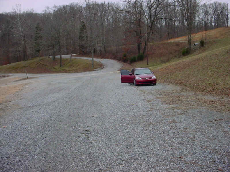
as we want! There are ramps 3 boats wide at the campground and
this picture shows the setup area that would accomodate half a dozen
boats at a time. It is not a large as Kentucky Dam, but we
will have it nearly to ourselves instead of having to share with 300
bass boats.
The campground is near the middle of LBL, on the Kentucky Lake
side in
Pisgah Bay. This bay is protected from 3 directions, being open
to the North. During June, North winds are unlikely.
The campground has no electricity, or showers, but does have drop
toliets and water. We can reserve campsites for as many folks as
we wish. most campsites are suitable for nearly any vehicle, camp
combination.
We will be able to erect a temporary dock finger to allow boats to dock
without beaching.
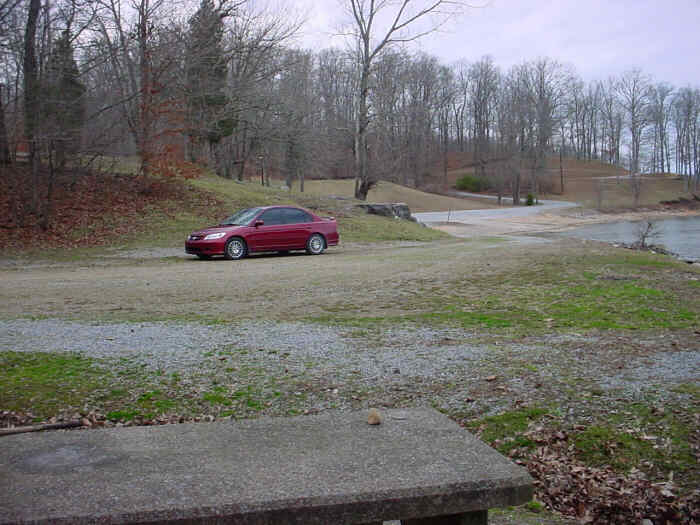
Looking back from the HQ campsite to the setup area.
A short way up the hill is a large parking lot we can use for trucks
and trailers for as long as we need. The great thing about this
area
is that it is off the main highway about 8 miles, the last 3 of which
are on gravel. So security at the parking lot should be great
since it
is off the beaten path.
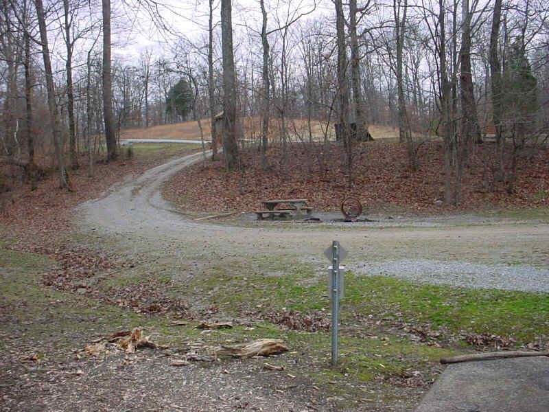
This picture shows the main party area and the trailer parking up the
hill.
This campground is about half way from the Kenlake park and Kentucky
Dam park. Pisgah bay is directly across the river from a
commercial campground. In the bay is a developed campground with
a camp stove and all kinds of camp rental stuff. This central
location will allow folks to leave for another cove and anchor out for
the night, or to sail back to this area after a nice sail.
Kentucky Dam is at mile 22.5. Grand Rivers is at 24 - legend
"F". Lighthouse Landing is just past the commercial pier on the
right descending bank. Oddly enough, the entrance to their marina
is marked by, are you ready?, a small fake lighthouse! Lighthouse
Landing is home to Rik and his beautiful Flicka and Steve Haines' cat
boat. There
are a couple of buoys marking the entrance, my advice is to stay
between them. :) The canal to Lake Barclay is at mile
25.5 See: http://www.lrn.usace.army.mil/opn/TNRiver/charts/4.jpg
Birmingham Ferry Campground is in Pisgah Bay at mile marker 30, around
the corner from Hillman Ferry Campground. There are some great
campsites at Hillman Ferry, but they are impossilbe to get, unless one
is willing to wait weeks. The best campsites have folks with
fences, gates, lights and stuff. That leaves a number of
campsites with poor access to the lake. However, Hillman Ferry
has showers, a camp store, and other amenities we can access via
boat.
Star Lime Works Light and Daymark is the big landmark, as is the rock
quarry located at the entrance to the bay. The rock quarry is the site
of all kinds of foolishness, such as over endulging in alcohol and
jumping off rock faces. To reach Birmingham
Ferry, come into the bay and bear to the right at the long finger, it's
down at the end of the finger on the right side. See: http://www.lrn.usace.army.mil/opn/TNRiver/charts/5.jpg
As you can see from this map, the East shore (North to the left) is
filled with many anchorages for those who wish to get away from the
rest of us. See: http://www.lrn.usace.army.mil/opn/TNRiver/charts/6.jpg
We will go to Leadbetter Creek at mile marker 42 next to Kenlake State
Park to anchor for the night, winds permitting. Sailing distance
about 12 miles. See: http://www.lrn.usace.army.mil/opn/TNRiver/charts/7.jpg
Barclay Dam at mile 30.5 on the Cumberland River. It is about 8
miles to the dam from Birmingham Ferry. One day, we will sail
down to the canal, motor through the canal and then sail or motor to
the dam, lock down to the river, then picnic at the federal mooring
cells below the dam before we lock back up and sail/motor home.
This might be the best time to eat dinner at Patti's Settlement in
Grand Rivers, then sail home in the dark. :) Although one
may wish to sail back to Birmingham ferry and drive down to Patti's
should they not wish to sail at night, or stay in the bay next to the
canal on Lake Barclay which is a nice anchorage, although somewhat open
to wakes from passing boats on the Cumberland. Lighthouse
Landing is not that great an overnight because the tows are making the
lock 24 hrs a day and are noisy at times. See: http://www.lrn.usace.army.mil/opn/CumbRiver/pdf/CRCH05.PDF
My big boat is at legend F on the chart below at mile 43. Some
may wish to explore that marina and the interesting boats being worked
on their. A 38' Hans Christian has been there for a couple of
years. He's getting close to finishing it and I don't know where
he'll be by this summer. I'll post an update as we get
closer. Kattawa Marina is near my boat, where Tom Rohm
lives. Kattawa is home to the famous Rudyburger. Between
there and the dam is Buzzard's rock, where Tom keeps his boat.
That marina reportedly has the best food on the lake. See:
http://www.lrn.usace.army.mil/opn/CumbRiver/pdf/CRCH06.PDF
You all come on down!
See the FAQ's